|
MAP TO COMPLETE IN PAINT
|
WHAT TO LABEL
|
MAPS FOR RESEARCH
|
|
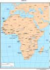
Africa
|
Countries:
Label at least the larger countries. (Don't forget Madagascar). Label as many smaller countries as you can, as long as the map is readable.
Water
North Atlantic,
South Atlantic,
Mediterranean Sea,
Red Sea,
Indian Ocean,
Lake Victoria
Capitals:
Cairo, Egypt
Tripoli, Libya
Algiers, Algeria
Mogadishu, Somalia
Khartoum, Sudan
Addis Ababa, Ethiopia
Pretoria, South Africa
|
|
|
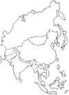
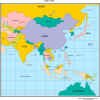
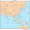
Eastern Asia
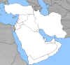
Middle East (Western Asia)
|
Eastern Asia
Countries
Afghanistan, Pakistan, India, Bangladesh, Myanmar, Thailand, Laos, Vietnam, Cambodia, Malaysia, Indonesia, Philippines, China, Taiwan, North Korea, South Korea, Japan, Mongolia, Russia
Water:
Arabian Sea, Bay of Bengal, Indian Ocean, Pacific Ocean
Capitals:
New Delhi, India
Kabul, Afghanistan,
Islamabad, Pakistan
Beijing, China
Tokyo, Japan
Seoul, South Korea
Middle East Map
Countries:
Turkey, Syria, Lebanon, Israel, Jordan, Saudi Arabia, Iraq, Iran, Kuwait, Qatar, Oman, Yemen
Water:
Mediterranean Sea, Black Sea, Caspian Sea, Persian Gulf, Arabian Sea, Red Sea
Capitals:
Ankara, Turkey
Jerusalem, Israel
Baghdad, Iraq
Riyadh, Saudi Arabia
Tehran, Iran
|
|
|
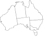
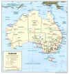
Australia
|
Western Australia, Northern Territory, South Australia, Queensland, New South Wales, Tasmania
Water: Indian Ocean
Capital: Canberra
|
|
|
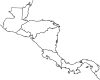
Central America
|
Countries:
Mexico, Belize, Guatemala, El Salvador, Honduras, Nicaragua, Costa Rica, Panama
Water: Caribbean Sea
|
|
|
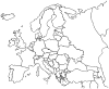
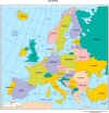
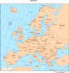
Europe
|
Countries:
Label at least countries such as Ireland, United Kingdom, Portugal, Spain, France, Belgium, Netherlands, Germany, Switzerland, Italy, Poland, Austria, Hungary, Romania, Greece, Norway, Sweden and Finland. Label as many smaller countries as you can, as long as the map is readable.
Water:
North Atlantic Ocean, English Channel, North Sea, Mediterranean Sea
Capitals:
Dublin, Ireland
London, United Kingdom
Madrid, Spain
Paris, France
Berlin, Germany
Rome, Italy
Athens, Greece
Oslo, Norway
Stockholm, Sweden
Helsinki, Finland
|
|
|

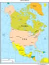
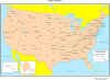
North America
|
Countries:
United States (Remember to color Alaska the same color), Canada, Mexico, Cuba, Haiti, Dominican Republic
Water:
Pacific Ocean, Gulf of Mexico, Atlantic Ocean, Bering Sea, Arctic Ocean,
Capitals:
Ottawa, Canada
Washington, D.C., United States
Mexico City, Mexico
|
|
|
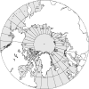
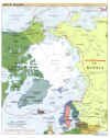
Polar View - Northern Hemisphere
|
Land:
North America, Greenland, Europe, Asia
Water:
Atlantic Ocean, Pacific Ocean, Arctic Ocean, Bering Sea
Label the North Pole
|
|
|
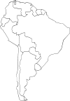
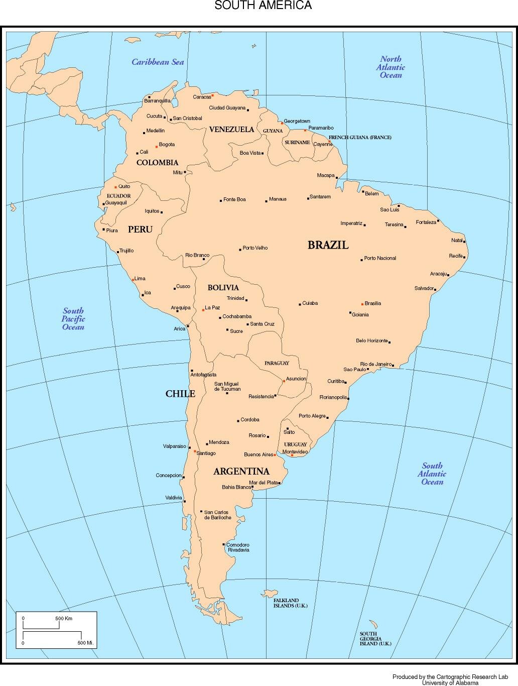
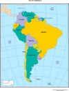
South America
|
Countries:
Brazil, Uruguay, Argentina, Paraguay, Chile, Bolivia, Peru, Ecuador, Colombia, Venezuela
Water:
South Atlantic Ocean
South Pacific Ocean
Caribbean Sea
Capitals:
Brasilia, Brazil
Buenos Aires, Argentina
Santiago, Chile
Lima Peru
Bogot, Colombia
Caracas, Venezuela
|
|
|
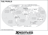
Continents
|
Color the continents and then label them.
Color the water blue.
Label the major oceans and seas. |
|
|
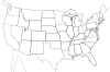
United States
|
Label all the states.
Color Canada and Mexico gray.
Label the Great Lakes:
Lake Superior, Lake Michigan, Lake Huron, Lake Ontario, Lake Erie |
|